Page Forestry
Mark Page is an experienced forestry consultant providing timber measurement, forest management, woodland consultancy, forest mensuration training, and FSC/PEFC certification support across the UK and overseas. Since becoming self-employed in 2001, he has managed a diverse portfolio of woodlands in the Scottish Borders while developing specialist forestry software and delivering services to leading forest management companies.
Over the years, Mark has developed a particular expertise in forestry surveys, supplying accurate data for harvesting operations, woodland valuations, and pre-purchase assessments. He also offers professional forestry data processing services for UK and Irish woodlands, including sample plot surveys and abbreviated tariffs, delivering fast turnaround times and clear, easy-to-use reports and data files for forest managers, surveyors, and investors.
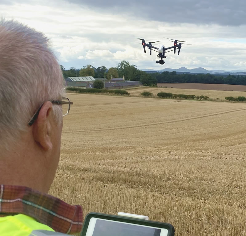
With the advent of drones he saw their potential in the survey side of his business. He first acquired a DJI Phantom and seeing its’ potential value became a professional pilot in 2016.
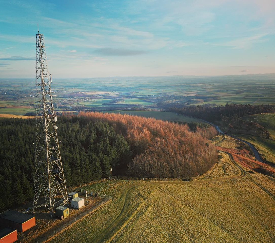
Forestry Services
Chartered Forester Mark B. Page NDF, provides professional forestry consultancy, timber measurement, woodland management, certification support, and mensuration training throughout the UK and overseas. Using advanced digital surveying equipment and proven Forestry Commission methodologies, we deliver accurate woodland assessments, forest valuations, yield class surveys, and volume calculations for forest managers, investors, and landowners. We also provide FSC and PEFC certification consultancy, practical forest management advice, and specialist training programmes, helping clients make informed decisions with confidence.
CaliperBase
With many years of experience in woodland measurement and data processing, I developed CaliperBase, a specialist system designed to process data collected using Masser RACAL and traditional Masser one-button calipers. I provide a complete UK and Irish woodland data processing service, together with practical support for surveyors and forest managers on data collection, preparation, and submission. CaliperBase handles sample plots, abbreviated tariffs, mixed stands, and pure crops, with all data processed in accordance with UK Forestry Commission conventions. Results are supplied in PDF, spreadsheet, or CSV formats, giving managers clear, transparent information for validation and decision-making. Whether you require volume assessments for timber harvesting, woodland valuation, or forest investment appraisals, reports are delivered quickly, accurately, and at a competitive cost, saving valuable time for busy forestry professionals.
Silvaeroscape
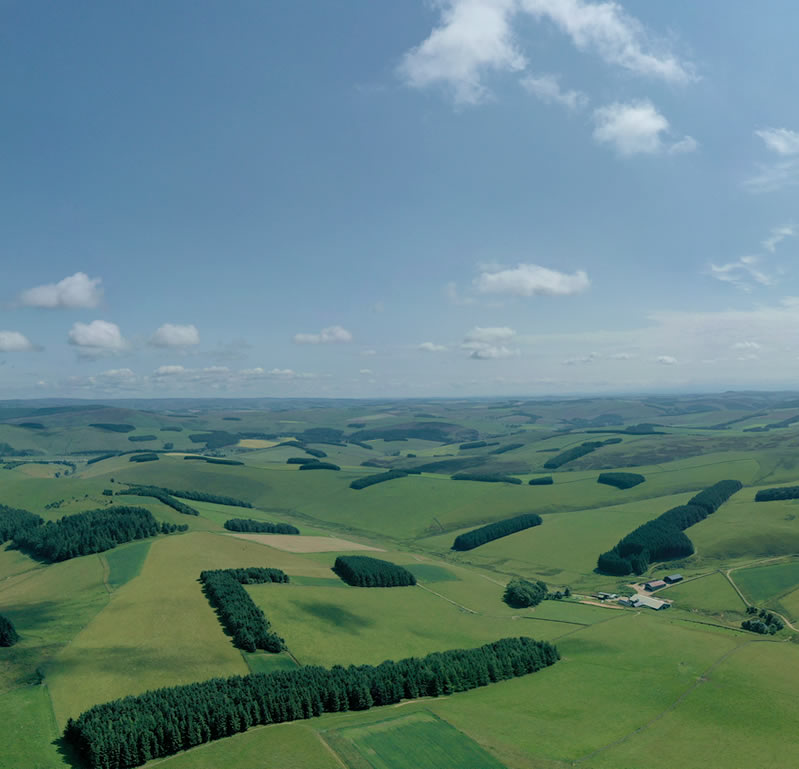
Mark provides a range of specialist aerial and digital services supporting forestry, land management, and property assessment, including advanced digital mapping using QGIS and Mapmaker with up-to-date drone-captured imagery to improve accuracy in woodland planning and valuation. He also offers professional drone filming and editing for forestry projects, presentations, and promotional use, along with cost-effective aerial property inspections that provide safe, detailed assessments of hard-to-reach structures without the need for scaffolding or working at height. In addition, he delivers high-quality aerial photography for real estate, helping landowners and agents present properties more effectively and support marketing and sales.
Services include:
- Digital Mapping
- Forestry surveys
- Aerial Video Filming & Editing
- Drone Aerial Property Inspections
- Photography for Real Estate
Awards
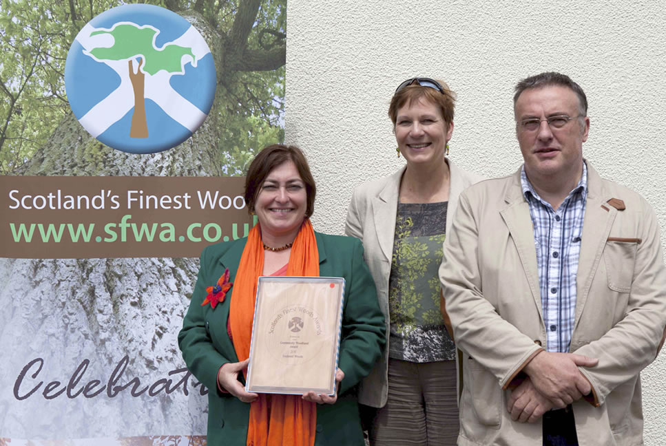
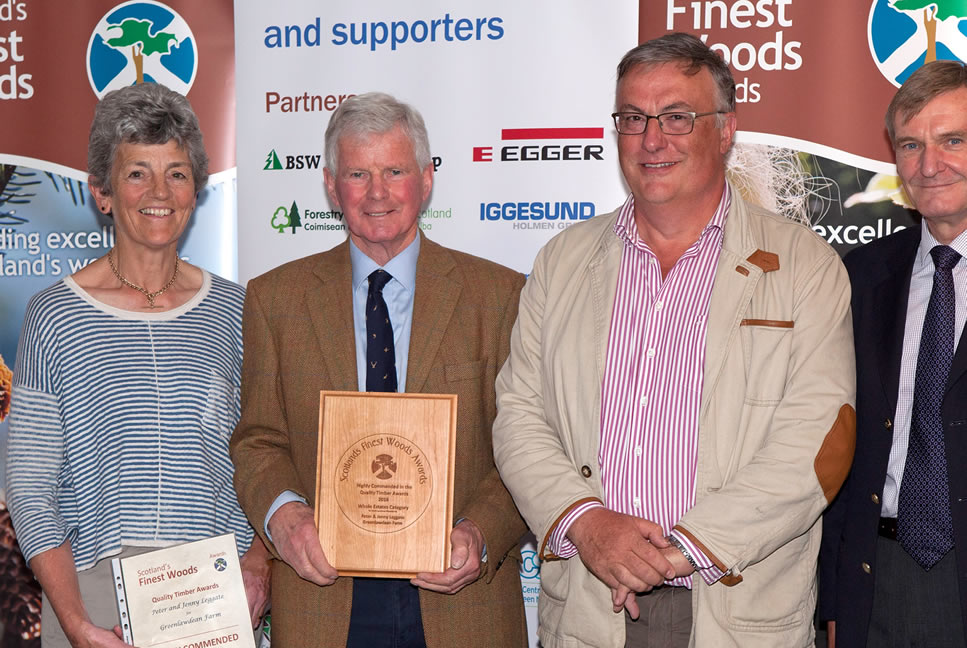
In forest management two of Mark's clients were awarded runners up in the Scotland’s finest Woods awards in 2016 and 2013. I bring the same skills that enabled these achievements to Silvareoscape.
Contact Silvaeroscape
Use any of the methods listed below to discuss your digital mapping, aerial videography and photography requirements.
Our Address
Smiddybank Cottage, Sunlawshill, Heiton, KELSO, TD5 8LB
Our Phone
Office Telephone : 01573 450298 Mobile : 07775 817776